Angel Island State Park
Great Views and Hiking in the Midst of San Francisco Bay
Review by Gretchen Schomer Wendel
‘Angel Island is a hidden gem that should be high on your bucket list.’
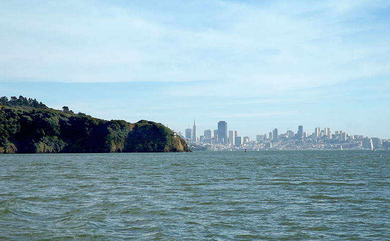
Angel Island with San Francisco in the background
 I decided to take the ferry from Tiburon to Angel Island but you can also take a ferry from San Francisco, Oakland and Alameda. The island does not allow roller skates, roller blades, skateboards, or scooters but bikes are allowed. So I dusted off my helmet and my rusty mountain bike and I took it on the ferry! I found this to be a great way to see the Island and I got tons of exercise. There are many trails for bikes – there is an island circling road that is super fun to ride. But the foot trails (used for pedestrians) and the road to Mount Livermore are closed to bikes. It’s easy to lock up your bike though and hike to the top of the 788-foot-high summit of Mount Livermore. It’s a tough hike but well worth it because of the views!
Angel Island State Park, the largest natural island in the San Francisco Bay, offers some of the best views of the surrounding Bay Area. As I mentioned it has great hiking trails and it also has beaches and many other recreational opportunities readily available. Most of the beaches offer excellent sunbathing opportunities but the swimming can be dangerous because of the strong currents.
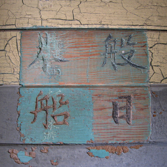
Angel Island is also truly a historical legacy. I could write paragraphs about the history which dates back thousands of years. When you are on the Island you can learn all about the history. During March – October there is a Park Interpretive Specialist who can answer questions and provide guided tours plus there is a museum on the Island with a wealth of knowledge. I would suggest setting aside at least an hour to learn about the history.
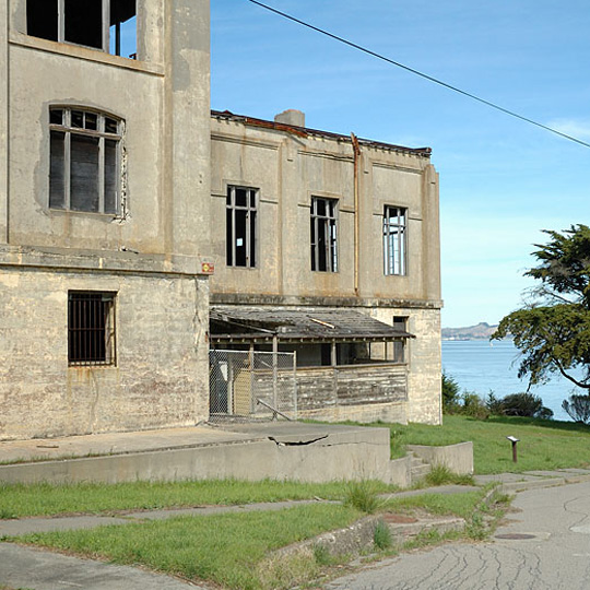

The creation of Angel Island becoming a State Park is fascinating! In 1947 there was a movement led by Caroline Sealy Livermore to protect the Island. Mrs. Livermore used her own money (and convinced some of her friends) to buy some of the land on Angel Island so that they could protect the Island. The idea was to turn the land into a National Park. After numerous delays on a national level Caroline Livermore and her friends persuaded the State Park Commission to acquire about 37 acres surrounding Ayala Cove. The army was still on the Island but thanks to Mrs. Livermore’s perseverance the State acquired additional acreage in 1958. Mrs. Livermore had used thousands of dollars of her own money to buy the land and protect it – in the end the State bought the land back from Mrs. Livermore. But it was her forward thinking that saved the Island. In that same year, 1958, the top of the mountain on Angel Island was re-christened Mount Caroline Livermore in honor of the dedicated Marin County conservationist who led the campaign to create Angel Island State Park.
I hope you will have the time (and energy!) to bike the island and hike the 788-foot mountain to the top and be inspired by Carolne Livermore. No doubt she would be delighted for you to take it the most unbelievable views encompassing San Francisco, the Golden Gate Bridge and Marin County! Angel Island is a hidden gem that should be high on your bucket list.